The center of the Arabian Peninsula
By Abida Khan
________________________________________________________________________
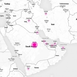
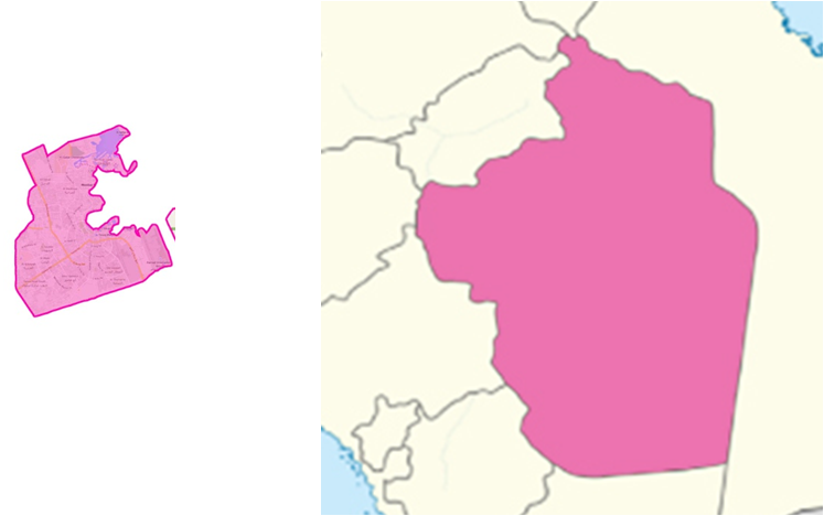
GEOGRAPHICAL LOCATION
______________________________________________________________________
DOHA VS. AL RIYADH
Doha: 132.1 Km2 Al Riyadh:1,200 km2
____________________________________________________________________
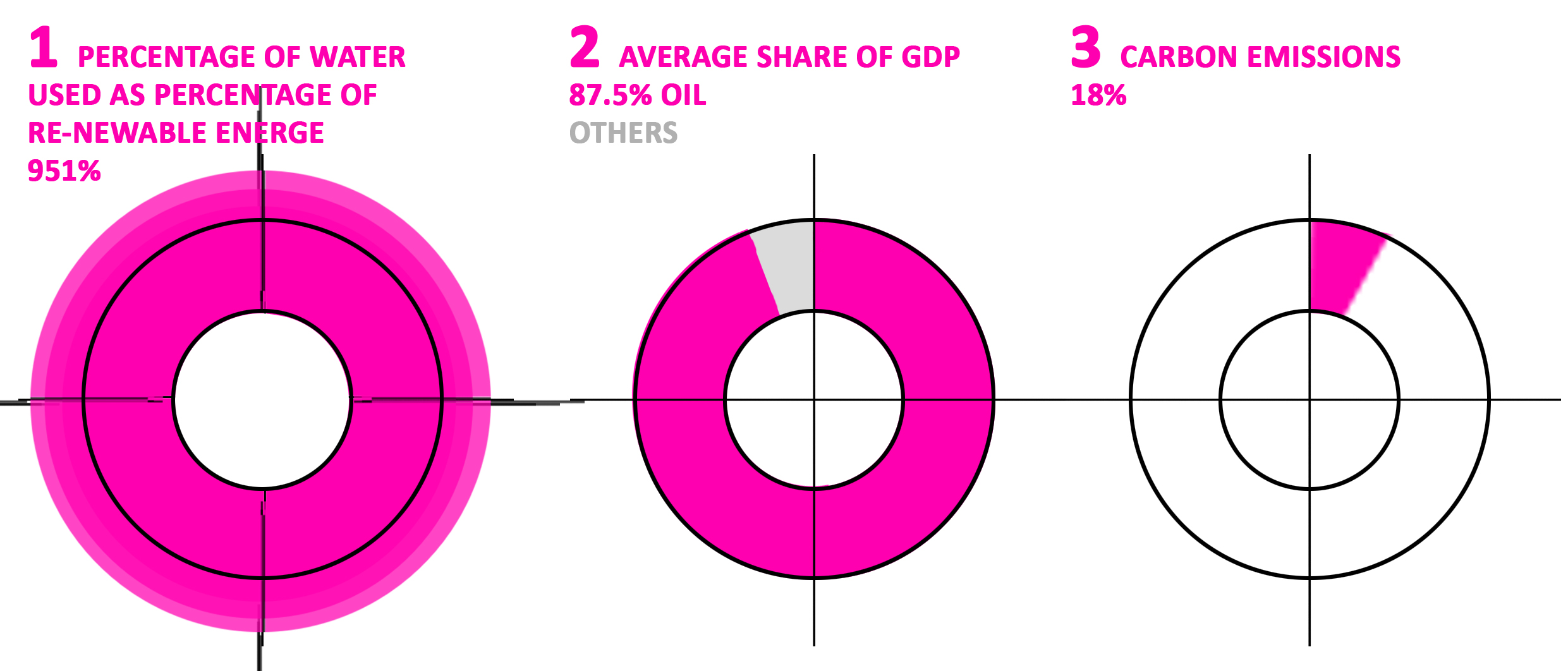
- % OF WATER USED AS PERCENTAGE OF RENEWABLE ENERGY³
- AVERAGE SHARE OF GDP
- PERCENTAGE OF CARBON EMISSIONS
_________________________________________________________________________
Longitude: 24°38′N
Latitude: 46°43′E
Population: 5,254,560 (2010)
Geography: Center of Arab Peninsula.
Climate: Dry, variation in temperature, irregular rains.
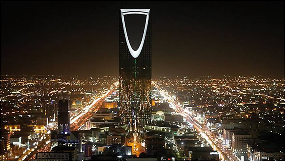
City Type: Capital of Saudi arabia
________________________________________________________________
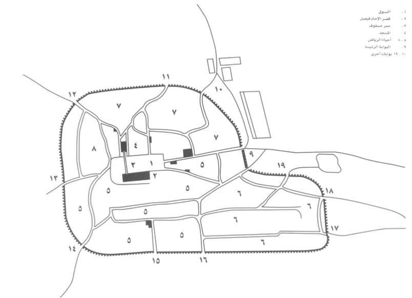 Al-Riyadh – 1863
______________________________________________
MASTER PLANS
________________________________________________________________
PROJECTS
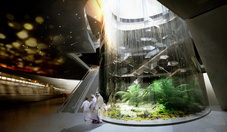
King Abdullah Financial District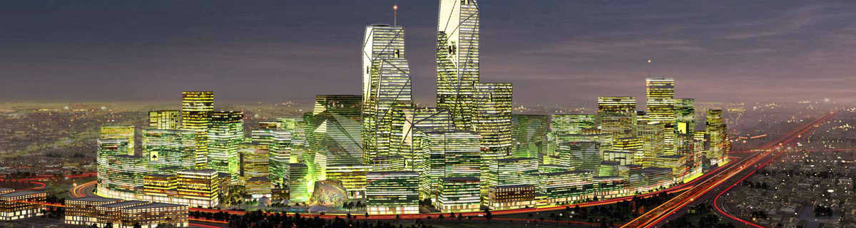
King Abdullah international gardens 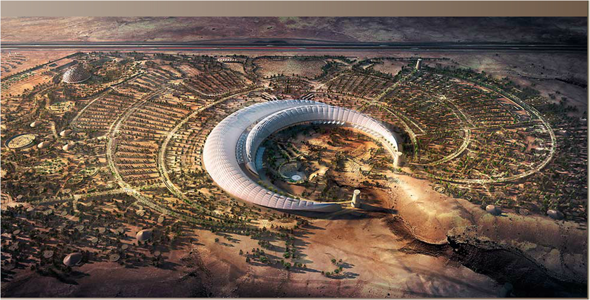
Other projects
Riyadh North– MASTER PLAN OF NEW TOWN DEVELOPMENT 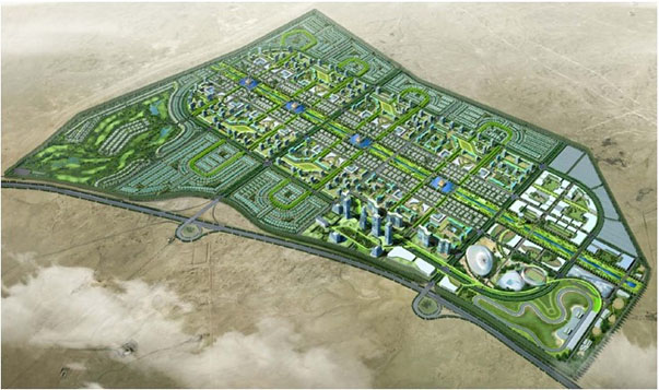 For more information
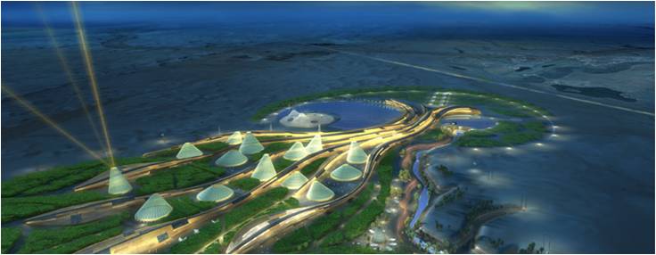
Samaya project is a remarkable project in Riyadh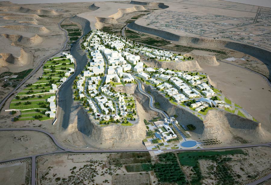 For more information
Shegery Duplex City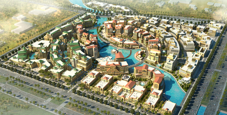 For more information
_________________________________________________________________________
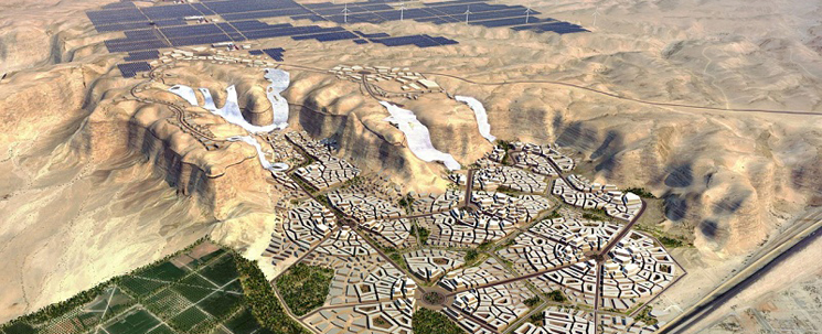
FUTURE VISION
City of Riyadh. Building upon the principles of sustainability.
_________________________________________________________________________
References
Samaya. (n.d.). . Retrieved June 16, 2014, from http://demo1.nusrv.com/CS232/cayan.net/projects/samaya
Saudiaramcoworld. (n.d.). . Retrieved June 16, 2014, from http://www.saudiaramcoworld.com/issue/201201/a.wadi.runs.through.it.htm
Shegery Duplex City. (n.d.). . Retrieved June 16, 2014, from http://www.dewan-architects.com/work_urban_planning_shegery.html
Riyadh map. (n.d.). . Retrieved June 16, 2014, from https://www.google.com/?gws_rd=ssl